At AllTheScience, we're committed to delivering accurate, trustworthy information. Our expert-authored content is rigorously fact-checked and sourced from credible authorities. Discover how we uphold the highest standards in providing you with reliable knowledge.
What Is Remote Sensing Software?
Remote sensing software provides users with the ability to edit, categorize, and store images obtained from aerial photography, satellite transmissions, or other remote sensing equipment. Image enhancement, restoration, and transformation are some of the common tools software programs provide for digital image processing. Some software can also convert images into multi-dimensional recreations or maps. The tools accompanying the software vary. Some companies offer shareware software with limited capabilities, while other programs cost tens of thousands of dollars and provide extensive image manipulation options.
After loading remote sensing images onto a computer, the image file is imported to the remote sensing software. The enhancement tool performs a number of functions designed to improve the quality of the image. Contrast stretching can correct lighting and adjust focus if needed. Digital filters remove blurring that might occur when an image has been captured from a flying plane or moving satellite. Composite generators produce images in black and white, full color, or two or more specific color bands that highlight particular aspects of an image, including buildings, bodies of water, or vegetation.

Restoration tools generally correct wavelength distortions caused by atmospheric conditions that might include moisture, particles in the air, or wind interference. This remote sensing software tool can also correct defects caused by equipment malfunction from lost signals or improperly calibrated detectors by using the known height and position of objects. This software allows users to calculate measurements based on individual data control points and known information. The tool may also overlap images for comparison studies of the same or different locations.
Depending on the complexity of the remote sensing software, the transformation digital imaging tool enables the creation of new images by applying algorithms to the original data. Vector dataset applications transform two dimensional images into detailed maps, and raster datasets convert two dimensional images into three dimensional displays for surface evaluation or modeling. Advanced software may contain both datasets. Programs may also provide special tools that allow calculations for simulated or prediction scenarios that might be used for land planning or risk analysis. Some software also allows video creation.
Besides aerial photography and map creation, the applications for remote sensing software are many. Meteorologists often use these programs for monitoring the atmosphere and predicting weather patterns. The software might be used for comparison studies of soil erosion or for continual monitoring of crop conditions. The military often uses the software, with remote sensing equipment, for surveillance purposes or for planning strategic operations.
AS FEATURED ON:
AS FEATURED ON:

-
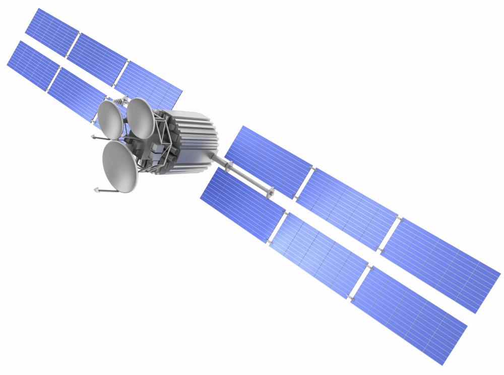
![Remote sensing software may be used to process satellite transmissions.]() By: yuriyRemote sensing software may be used to process satellite transmissions.
By: yuriyRemote sensing software may be used to process satellite transmissions.
Discuss this Article
Post your comments