At WiseGEEK, we're committed to delivering accurate, trustworthy information. Our expert-authored content is rigorously fact-checked and sourced from credible authorities. Discover how we uphold the highest standards in providing you with reliable knowledge.
What Is Kriging?
Geostatistics is a branch of statistics used in geology when taking measurements in all locations is not possible. Often used in mining and environmental geology, it usually relies on a statistical concept called kriging. Data at certain locations help estimate a value for a point which has not been sampled, which is typically useful for creating contour maps. Variations of the concept include punctual, block, point, and universal kriging. The statistical procedure is named after Danie Krige, a mining engineer from South Africa who helped develop the technique in the mid-20th century.
Known measurements within a general area are typically used to derive mathematical values for locations not measured. For kriging, data from a semivariogram, which plots the degree of spatial difference between sampled locations, are most often added to these known details. Semivariance is a principle used to derive the values on the chart. These values tend to increase with distance in relation to average sample values, up to a certain point. The estimated point values typically change in relation to the semivariance.

Environmental engineers often use punctual kriging, in which average numbers for an entire area do not have to be close to values calculated locally. The block type of the concept serves to estimate a value for a general area, based on measurements taken nearby. Measurements for a particular point can also be estimated based on calculations for other local points, which is usually similar to estimates using small blocks of space. Universal kriging is most often used when the average values for measurements change gradually or a trend is being monitored.

Kriging is generally used in mining operations or where the locations of minerals are being mapped. It helps to estimate the distance between sample plots or drilling holes, as well as the elevation of different areas. Changes in height between locations are also resolved by this method. Statistical analysis using kriging is also done to monitor ground water, soil quality, the health of agriculture, and spread of pathogens. It is often useful for hydrological measurements and studying the changes in groundwater levels over time.

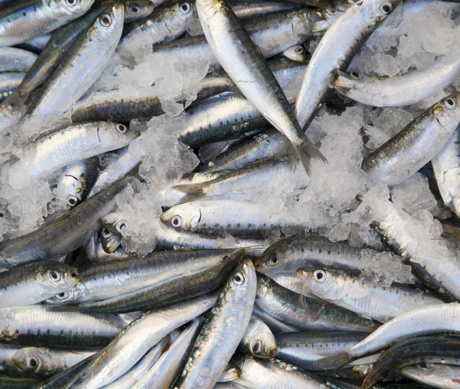
Scientists have also expanded the use of kriging to monitor the state of fisheries and the presence of radioactivity. Pollution of groundwater can also be tracked, as well as the state of wildlife conservation areas and the spread of air pollution in urban environments. Statistical data can help create accurate models of local or widespread areas for scientific analysis.
AS FEATURED ON:
AS FEATURED ON:

-
![Kriging may be used in mining operations to estimate the distance between drilling holes.]() By: Doin OakenhelmKriging may be used in mining operations to estimate the distance between drilling holes.
By: Doin OakenhelmKriging may be used in mining operations to estimate the distance between drilling holes. -
![Statistical analysis using kriging is done to monitor soil quality.]() By: dima_picsStatistical analysis using kriging is done to monitor soil quality.
By: dima_picsStatistical analysis using kriging is done to monitor soil quality. -
![Kriging has been used to monitor the state of fisheries.]() By: perfectmatchKriging has been used to monitor the state of fisheries.
By: perfectmatchKriging has been used to monitor the state of fisheries.


Discussion Comments
I belong to a wild caving group. We've discovered a particularly interesting wet cave that, to our knowledge, has never been mapped. Would kriging help us map the areas we aren't able to squeeze or repel into?
Post your comments