At WiseGEEK, we're committed to delivering accurate, trustworthy information. Our expert-authored content is rigorously fact-checked and sourced from credible authorities. Discover how we uphold the highest standards in providing you with reliable knowledge.
What Is Bathymetry?
Bathymetry is the scientific study of the depths and terrain of underwater surfaces, whether in saltwater environments like the oceans or freshwater environments like lakes and rivers. The study of bathymetry in the past was done through methods mechanical depth sounding, but, as of 2011, sonar is a more common means used to analyze the underwater environment. Such research is used for a variety of purposes, including ensuring the safety of ships during navigation on the surface, as shallow channels along coastal regions or river banks may not be as deep as the amount of ship that exists below the waterline. Other purposes for collecting bathymetric data include to analyze marine and freshwater habitat ecology, for underwater oil and mineral prospecting, and to predict the effects of water-based storm events such as tsunamis.
Sea bathymetry follows principles similar to that of mapping dry land in that it uses Mercator projections, which are lines representing latitude and longitude drawn on a flat surface map that are used to approximate the spherical shape of ocean surfaces. These projections, however, are not accurate at polar regions due to increasing levels of distortion between the map and actual underwater features. Bathymetry also relies heavily on displays of isobaths on maps, which are lines often drawn in radiating circular patterns that connect all regions of terrain that exist at approximately equal depths.

Extensive bathymetry map production is carried out by national research organizations, such as the US-based National Ocean Service (NOS) Office of Coast Survey, and these maps are provided to commercial enterprises such as those engaged in offshore fishing. The maps are usually color-coded to indicate both the depth and geological features of underwater terrain. Maps exist for large freshwater bodies, including the Great Lakes, and some regions such as the US state of Florida have undertaken detailed bathymetric mapping of much smaller and more numerous freshwater bodies. Many of the large saltwater regions of the Earth are mapped through international cooperation including the Arctic ocean, Caribbean sea, and Mediterranean sea. While a large amount of bathymetric survey data has been collected by surface ship soundings with over 76,000,000 soundings comprising more than 6,600 surveys performed through the NOS, bathymetry data collected as of 2011 is also generated by satellite imagery.

Ocean bathymetry also serves unique historical and legal purposes. It is used to aid archeologists seeking the location of ancient ship wrecks, and can be presented as evidence in court when disputes arise over national borders for fishing and mineral rights. In 1985, an expedition carried out by both American and French researchers utilized bathymetric maps to locate the underwater wreckage of the famous cruise liner the RMS Titanic, which was found at a rough depth of 2.5 miles (4,023 meters), 370 miles (595 kilometers) south-east of the Canadian province of Newfoundland in the Atlantic ocean.
AS FEATURED ON:
AS FEATURED ON:

-
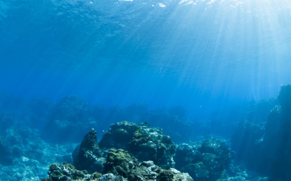
![Bathymetry is the study of underwater surfaces.]() By: masaBathymetry is the study of underwater surfaces.
By: masaBathymetry is the study of underwater surfaces. -
![Bathymetric data allows scientists to analyze the effects of storms at sea.]() By: Andrii IURLOVBathymetric data allows scientists to analyze the effects of storms at sea.
By: Andrii IURLOVBathymetric data allows scientists to analyze the effects of storms at sea.

Discuss this Article
Post your comments