At WiseGEEK, we're committed to delivering accurate, trustworthy information. Our expert-authored content is rigorously fact-checked and sourced from credible authorities. Discover how we uphold the highest standards in providing you with reliable knowledge.
What is a GIS Certificate?
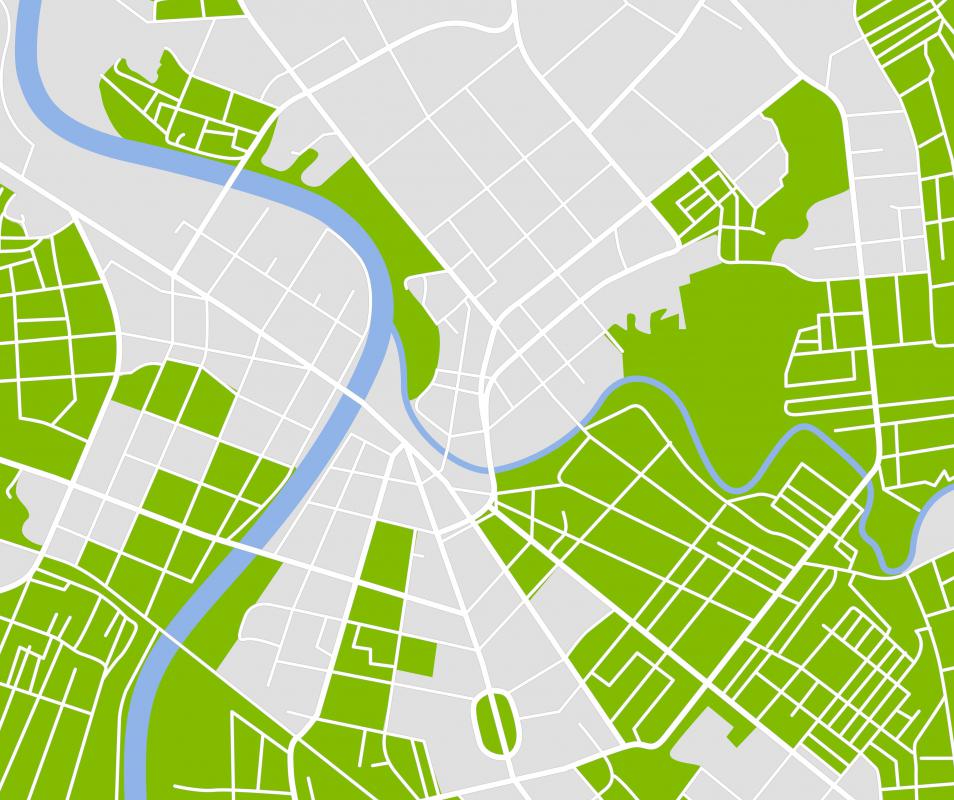
A geographic information system (GIS) certificate program trains people how to integrate specialized software with demographic data in order to create coherent, multidimensional reports. Trained GIS professionals are able to integrate mapping features such as municipal boundaries, street names, state borders, governmental entities and other official designations using GIS software, which combines topographic features an mapping capabilities. A GIS certificate from a respected agency shows that the recipient is somewhat of an expert in the field. A certificate also can help the certified GIS professional progress further in his or her career.
GIS certificate programs sometimes are offered through colleges and universities. Other GIS certificate programs are available through free-standing institutions. In many instances, adult students pursue certificate programs instead of full-fledged degree programs so that they can obtain the training they need without having to quit their jobs. In addition to training students in how to use the software, GIS certificate programs also include core courses in geography and cartography. Along with these core courses and specialized software training, many GIS certificate programs feature courses in political science, sociology and environmental studies.

As with other certificate programs, students sometimes pursue GIS training after several years of experience in a related career. For such professionals, GIS certificate programs are ideal, because they allow students to obtain the specialized training that they need without devoting years to classroom instruction. Nonetheless, admission into GIS certificate programs often is highly competitive, especially for programs affiliated with colleges and universities.
In addition to its mapping capabilities, GIS software is used to generate data relating to policy and social services. GIS professionals are employed by municipalities in departments of planning and other departments that determine or provide social services, such as health departments. They use their training to study issues such as traffic patterns to determine whether traffic lights are needed at particular corners or demographic neighborhood data to determine where to place new schools or hospitals.
By successfully completing a GIS certificate program, students often become eligible to apply for formal certification as a GIS professional. Some people train themselves to use GIS software either on their own or on the job. Besides running the risk of not learning how to use the software properly, self-trained individuals often find that it is difficult, if not impossible, to obtain certification.
AS FEATURED ON:
AS FEATURED ON:

-
![A GIS certificate can be acquired at a university or a free-standing institution.]() By: Nataly-NeteA GIS certificate can be acquired at a university or a free-standing institution.
By: Nataly-NeteA GIS certificate can be acquired at a university or a free-standing institution.
Discuss this Article
Post your comments