At WiseGEEK, we're committed to delivering accurate, trustworthy information. Our expert-authored content is rigorously fact-checked and sourced from credible authorities. Discover how we uphold the highest standards in providing you with reliable knowledge.
What is a Doppler Map?
A Doppler map uses a process called Doppler shift to produce data on the motion of targeted objects. Doppler shift is the term used for the change in the length of a wave, taking into account its motion in relationship to the source of the wave and the returning reflection. The wavelengths become longer as they move away from the sending unit, and shorter as they move back toward the sending unit.
Most people are familiar with seeing Doppler radar used on weather maps. The images on these maps are created by sending microwave signals to a particular target, and waiting for the reflection of the waves. A computer analyzes this information and charts the variation of the signal. This produces a map that shows velocity and is used in meteorology, air traffic control, and other industries. Police radar guns and radiology also use Doppler technology. Although each produces different images and results, but they all use the same principle.

Doppler is an important part of weather reporting because Doppler maps can indicate the velocity of wind, which is an improvement over traditional weather radar maps that only indicated what was happening in a particular location at a given moment. A Doppler map uses several different colors to indicate different forms of precipitation. Regardless of the type of precipitation, lighter amounts are shown in lighter colors, and as the intensity of the precipitation increases, the color deepens. Rain is indicated by green, ice by pink, and snow by blue.

The widespread use of the Doppler map has increased accuracy in reporting the weather. It also allows the general public who see the weather map to better understand the upcoming forecast. Another advantage of Doppler maps is that due to their sensitivity, it is possible to see changes in weather patterns, and predict potential weather events such as storms or tornados earlier than in the past. Their increased sensitivity also makes it possible to see mist, snow flurries, and other types of very light precipitation.
Doppler radar, also known as NEXRAD or WSR 88-D, can also detect the boundary lines between different weather events, such as warm and cold fronts. The combination of information available on a Doppler map makes in-depth study and predication of weather a more accurate science. The widespread use of Doppler maps in weather forecasting has contributed to the popularity of weather watching, both on all-weather channels and on the Internet.
AS FEATURED ON:
AS FEATURED ON:

-
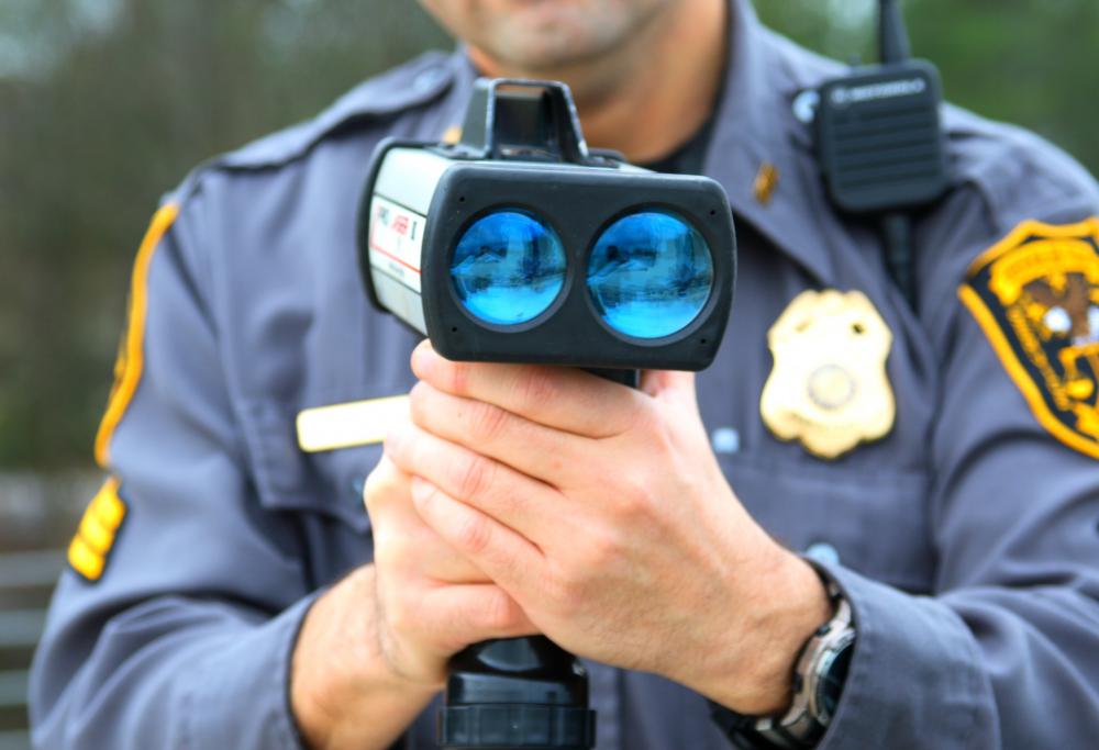
![Police radar guns use Doppler technology.]() By: Stephen ForePolice radar guns use Doppler technology.
By: Stephen ForePolice radar guns use Doppler technology. -
![Doppler maps can provide predictions about potentially dangerous events like tornados.]() By: Minerva StudioDoppler maps can provide predictions about potentially dangerous events like tornados.
By: Minerva StudioDoppler maps can provide predictions about potentially dangerous events like tornados.

Discussion Comments
Doppler radar has a new permutation: dual pol. I'm not sure exactly what it means, but it does mean the radar is more sensitive than it used to be.
During the last really bad bouts of severe weather, the TV people could see some debris signatures from tornadoes that had touched down! This is valuable information, especially if there isn't a trained spotter in the immediate area.
I remember the old black and white radar images of my childhood. You were lucky to get a five-minute warning about a possible tornado, and you had to hope the "hook" echo would show up to tell the meteorologist that a tornado had formed. We have come a long, long way.
Southerners like me are old hands at reading most Doppler weather radar images. Those of us who live in the Dixie Alley area for tornadoes get pretty good at it, in fact.
I can even read the storm velocity images where it shows the winds blowing toward the radar and away from it. You don't want to see these too close together, since that usually means there is rotation in the storm. And rotation means a possible tornado spin-up.
I always watch the radar very carefully during severe weather to see if I can spot something bad that the TV weather people don't see.
Post your comments