At WiseGEEK, we're committed to delivering accurate, trustworthy information. Our expert-authored content is rigorously fact-checked and sourced from credible authorities. Discover how we uphold the highest standards in providing you with reliable knowledge.
What are the Different Types of GIS Analyst Jobs?
Software that captures and analyzes data that can be linked to a particular location is called a geographic information system (GIS). It's a powerful analytical tool that has thousands of uses across many industries including banking and finance, city planning, defense, and natural resources. A GIS analyst is a person who uses GIS technology to visualize and analyze data to help in their organizations' decision-making processes. Different types of GIS analyst jobs include those in wildlife management, city planning, banking, and emergency management, among others.
One of the first industries to use GIS was wildlife management. In this field, GIS analysts might use animal population data, human population data, vegetation data, and food supply data for a given territory to determine whether the area can support the current wildlife populations. GIS can also be used to plot the migration patterns of waterfowl so that land use planners can determine the possible impact on the birds' territories.

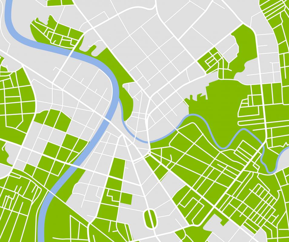
Another area in which GIS analysts might be involved is city planning. Local, regional, and national planning agencies use GIS tools to identify problems, study regional indicators, and forecast future trends and needs. Analysts can then report their findings and ideas to create optimal community living conditions.
The banking and financial sectors offer many types of GIS analyst jobs. An analyst may use demographic information combined with geographic modeling to better understand economic conditions, customer interactions, and risk. Companies can use GIS to aid in a financial institution's decision-making processes to improve customer service, profitability, and operational efficiency.

GIS is an important tool for emergency management and disaster recovery. It can be used to model potential disasters and vulnerabilities. That information can then be used to plan for, respond to, and recover from disasters of all kinds, including earthquakes, hurricanes, fires, and oil spills.
The scientific community also provides many types of GIS analyst jobs. For example, analysts may be involved in studying weather patterns over time, in order to identify climate change both regionally and globally. It is also used to monitor Arctic ice melt, ozone depletion, rain forest depletion, and ocean levels, to name just a few.
Many industries can provide opportunities for GIS analyst jobs. With a strong foundation in GIS training and knowledge, a person should have a great many areas in which to demonstrate his or her skills. When looking for a job, a searcher should consider related job titles, such as GIS specialist, GIS technician, GIS data specialist, GIS data analyst, and GIS assistant.
AS FEATURED ON:
AS FEATURED ON:

-
![A GIS analyst might be concerned with rain forest depletion.]() By: mtilghmaA GIS analyst might be concerned with rain forest depletion.
By: mtilghmaA GIS analyst might be concerned with rain forest depletion. -
![Some GID analysts have jobs that involve city planning.]() By: Nataly-NeteSome GID analysts have jobs that involve city planning.
By: Nataly-NeteSome GID analysts have jobs that involve city planning.

Discuss this Article
Post your comments