At WiseGEEK, we're committed to delivering accurate, trustworthy information. Our expert-authored content is rigorously fact-checked and sourced from credible authorities. Discover how we uphold the highest standards in providing you with reliable knowledge.
What are Forestry Maps?
Forestry maps disclose information about the wooded areas in a given place. Such a map, for example, can cover a county or an entire province. Different maps provide different information. Some may show the distribution of thicket in the covered area. Others may be drafted to show the forest fire risk of an area.
Many countries maintain forestry maps. This responsibility usually falls on the department or ministry responsible for woodlands or forestry. In some places, these maps are only developed for government-controlled land. There are also instances when such maps are created by agencies not associated with any government.

Since there is such a wide range of information that can be communicated on forestry maps, there are often numerous maps drafted for a single area. Forestry maps usually have relevant titles that help those who are interested determine which one will best suit their needs. For example, the World Forestry Distribution Map shows where on Earth the coniferous and non-coniferous production is located.

Forestry maps may be used to communicate density. Some may show the complete density of a particular wooded area. This could include providing information about the mangrove, dense forest, and open forests all on one map. Others may only show the density of a particular type of vegetation in a given area. For example, the Limpopo thicket map shows only the thicket distribution for that province of South Africa.

Sometimes special forestry maps are drafted for government-owned forests that are popular tourist destinations. These maps generally offer a great deal of detail of interest to visitors. This can include the locations of lodging facilities and fueling stations. The forest’s attractions, such as hiking trails and waterfalls, are also likely to be listed.
Forestry maps, whether developed for general use or for tourists, tend to have many of the same characteristics as other types of maps. Unlike some specialized maps, these do not normally require any special knowledge to understand. They usually have simple legends and scales. The names of cities or capitals may be listed. It is also common for any borders to be shown.
Forestry maps are sometimes available for viewing on the Internet. When this is the case, many have interactive features that allow people to quickly get detailed information or views. People who need printed copies can usually request them or purchase them from the issuing authorities.
AS FEATURED ON:
AS FEATURED ON:

-
![Felled trees.]() By: KacpuraFelled trees.
By: KacpuraFelled trees. -
![Forestry involves managing and developing forests.]() By: Lars JohanssonForestry involves managing and developing forests.
By: Lars JohanssonForestry involves managing and developing forests. -
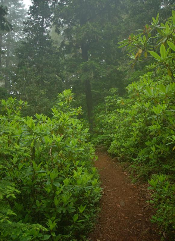
![A forestry map often shows where main hiking trails are located.]() By: Mark RasmussenA forestry map often shows where main hiking trails are located.
By: Mark RasmussenA forestry map often shows where main hiking trails are located.


Discuss this Article
Post your comments